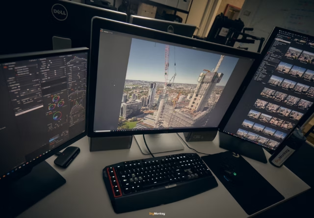
Professional Post Processing
We are professional photographers by trade. All our photographs goes through a professional work-flow to ensure we deliver the best possible quality photographs, ready for commercial use.
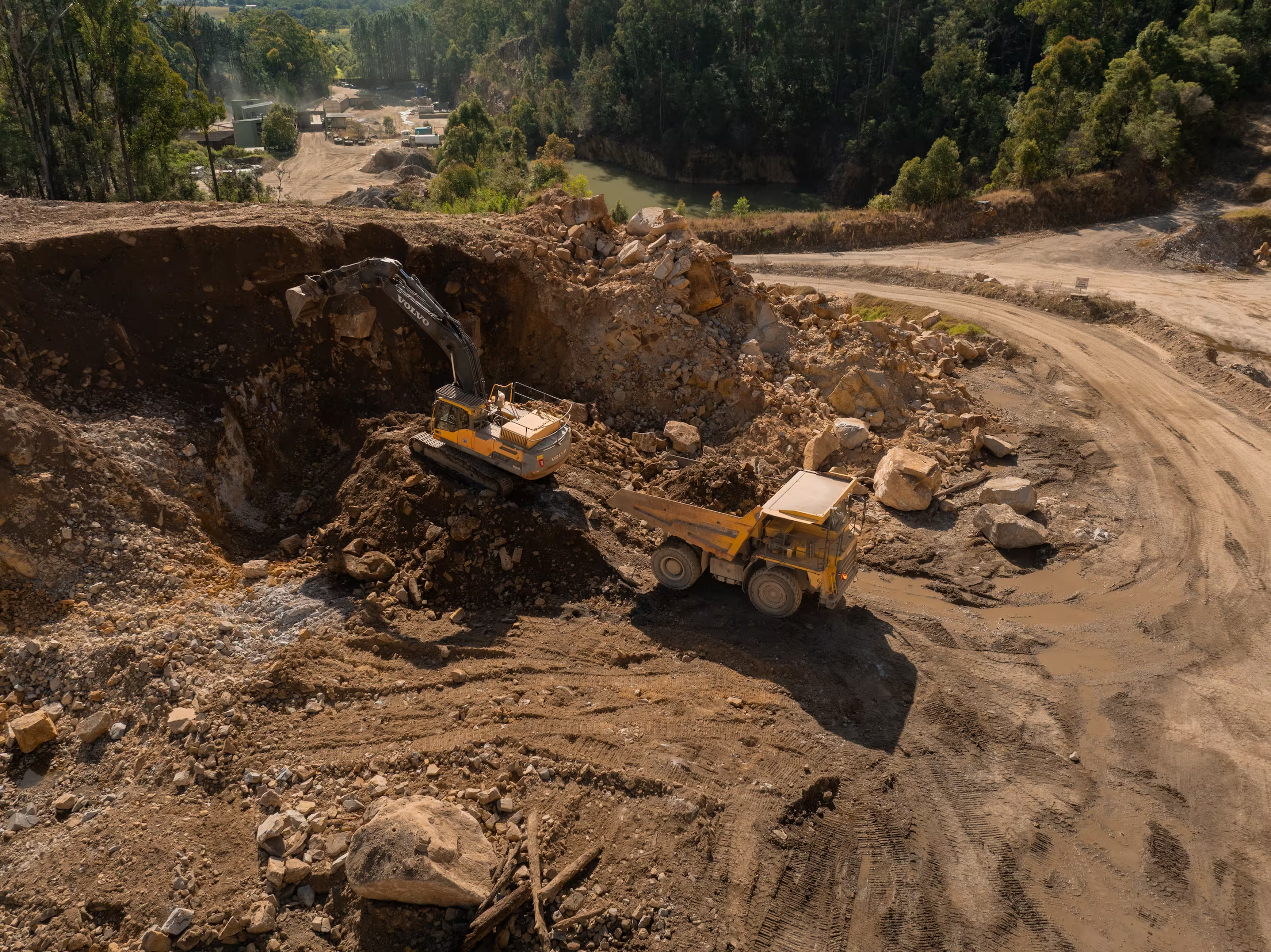
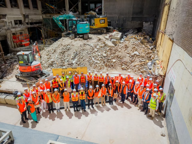
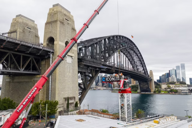
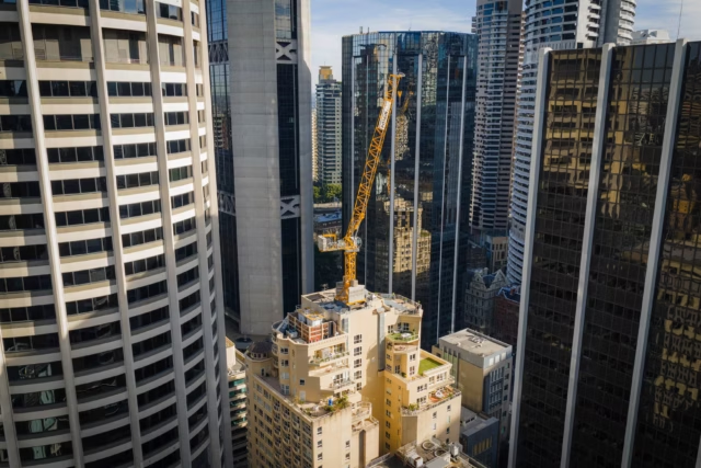
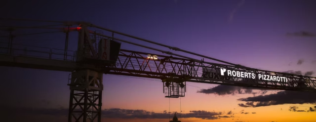
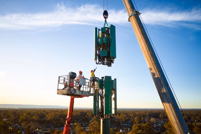
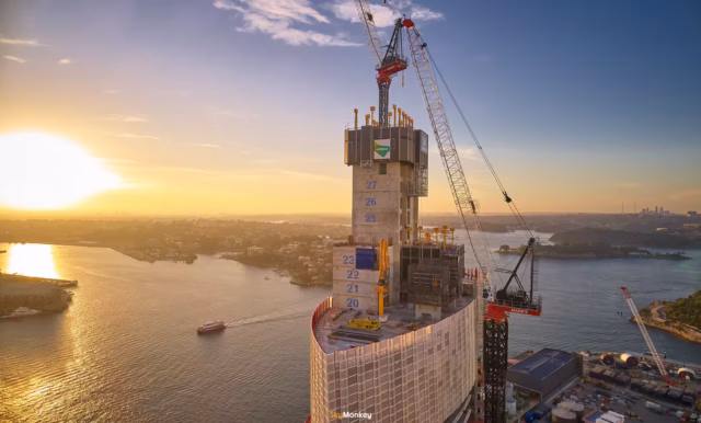
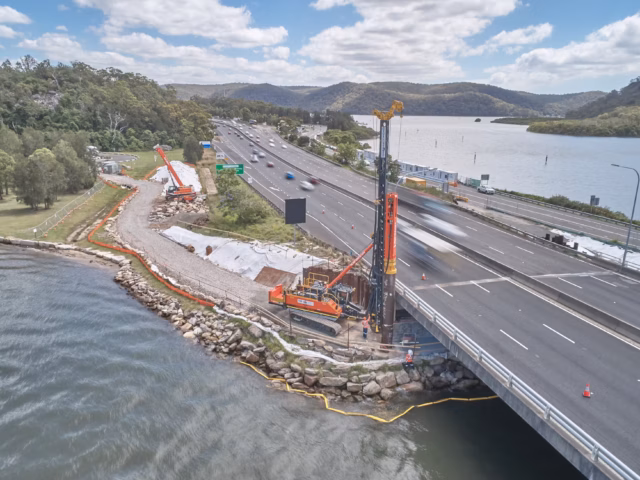
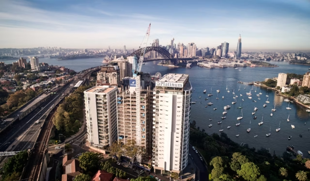
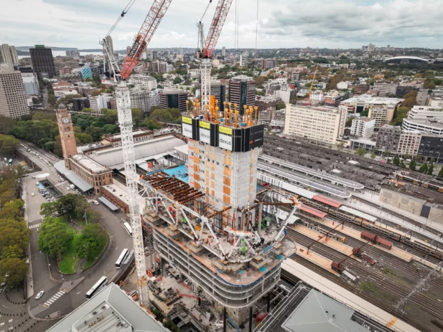
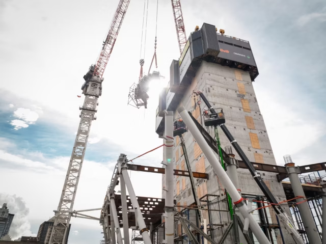
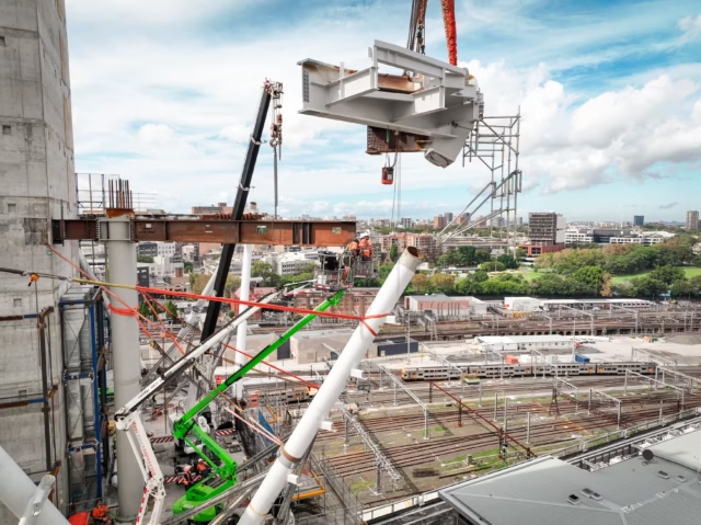
Asset & Infrastructure
Showcase the ever-evolving landscape of large-scale projects. We specialise in aerial solutions for heavy industry, from monitoring site updates to capturing the full spectrum of the construction process. We deliver high-impact results and technical aerial solutions tailored to your project’s needs.
What sets us apart
Key features that sets us apart from our competition. Here are reasons why you should engage Sky Monkey for your next project.
We are professional photographers by trade. All our photographs goes through a professional work-flow to ensure we deliver the best possible quality photographs, ready for commercial use.
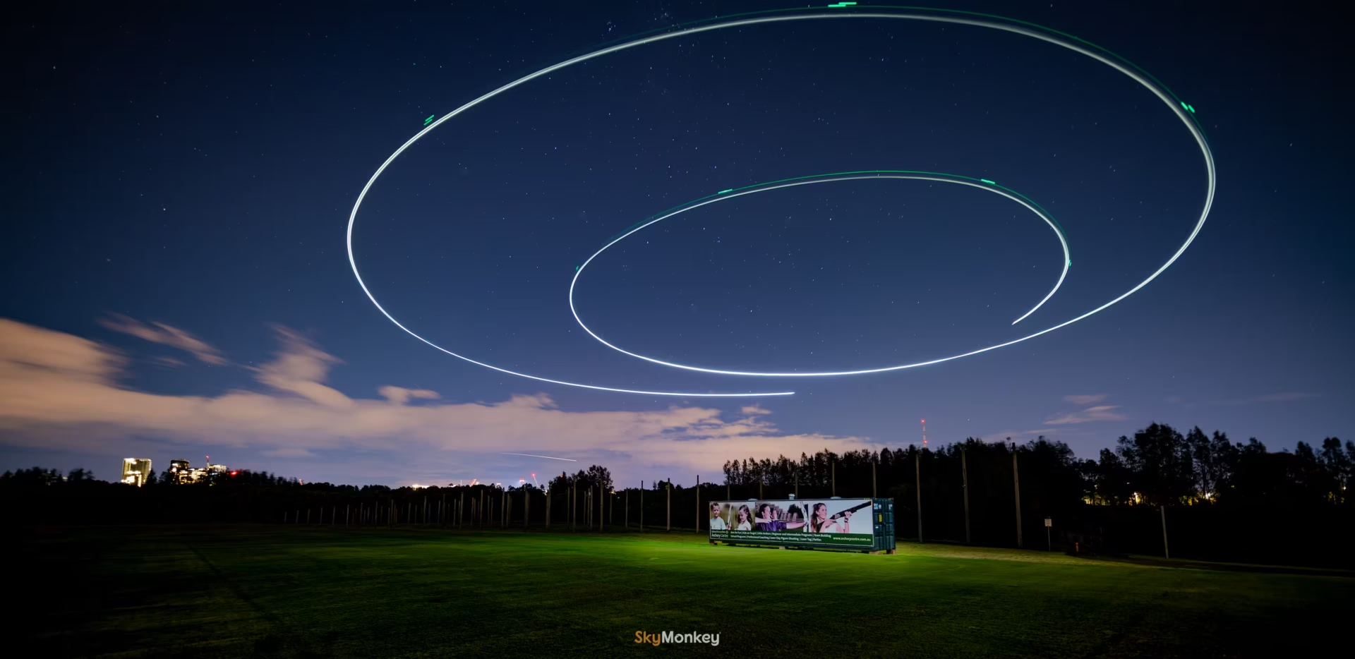
We do not outsource production work, EVER. We perform ALL our production work in-house. That means, our quality and processes stay tight and in check, performed by our creative souls. We are fully Australian owned and operated. 🇦🇺
Future views of your asset, realised
Show your clients and stakeholders the future views of your building.
The Newlands St Leonards Site Updates from October 2023
See full screen of The Newlands Site UpdatesKings Bay Village Site Update Five Dock. Starting in December 2025.
See full screen of Kings Bay Village Site Update1000 words…
Select any image below to see its full resolution in full screen.
We get asked these regularly. Anything else beyond these, you can always ask us.
Yes. We have a variety of talented and skilled operators Australia wide.
Not at all. Our team comes from a professional photography and videography background. We maintain an extensive arsenal of high-end camera gear and ground-based equipment, allowing us to capture your project from every perspective not just from the air.
Don't just take our word for it.
Here are what some of our actual clients have to say.
Contact us
Genuinely, the Sky Monkey team have been amazing as pilots for us at Wash Drones. Through tricky flying conditions and fantastic advice on what we can/can’t do, I couldn’t recommend them as a partner more highly.
Geraldo at Sky Monkey is outstanding. His professionalism, attention to detail, and skill with drone work truly set him apart. The quality of the footage was exceptional, and the entire process was smooth and easy from start to finish. He clearly knows what he’s doing and delivers results you can rely on. I highly recommend Geraldo and Sky Monkey to anyone looking for top-tier drone services.
Reach out
Simply reach out to us online. Click on the button below. We will respond swiftly.